
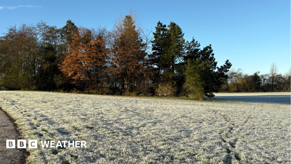
An early taste of winter is gripping the UK as northerly winds usher in a surge of Arctic air, bringing some of the coldest temperatures of the season so far. The chill has prompted health authorities to issue cold weather alerts, with vulnerable populations urged to take extra precautions.
Widespread Frost and Sub-Zero Temperatures
Thursday afternoon will see highs struggle to reach double digits for most, with temperatures expected to range between 6C and 10C. Overnight, the mercury will plummet, with many areas falling below freezing and the coldest spots potentially hitting -7C. The strong northerly winds will add a significant wind chill, making it feel even colder, particularly along northern and eastern coasts.
The UK Health Security Agency (UKHSA) has issued yellow cold health alerts for the West Midlands and north-west England, in effect until midday Saturday. These alerts indicate minor impacts on the health and social care sector, with increased demand for services by vulnerable individuals who face greater risks from the cold.
Sunshine and Showers
Despite the cold, many areas will enjoy clear, sunny skies, as the Arctic air mass is relatively dry and free of the mist and fog that has plagued parts of the country recently. However, northern Scotland and Northern Ireland will see scattered showers, which could turn wintry over higher ground, with a mix of rain, sleet, and hail. Winds will be strongest in north-east Scotland, with gusts reaching 50-60mph, and blustery conditions will also affect the east coast of England.
Thursday night is expected to be one of the coldest of autumn so far, with a widespread frost developing across the UK by Friday morning. Some icy stretches are possible, especially in northern Scotland.
Weekend Outlook
Friday will bring more sunshine and lighter winds for most, though northern Scotland will remain blustery. Showers are likely in Northern Ireland, Wales, north-west England, and Scotland, with cloud increasing in the afternoon. Another frost is forecast for Friday night, and the weekend will stay chilly, though temperatures will gradually climb by a degree or two as southerly winds develop. By Sunday, morning fog will become more prevalent, and the chances of rain will increase as high pressure gives way to low pressure.
Next week looks more unsettled, with stronger winds and rain at times. Temperatures will generally be a little higher, but incursions of cold air could still bring wintry weather over the Scottish mountains.
As the cold snap takes hold, residents are advised to stay informed with the latest forecasts and to check on vulnerable neighbours. For up-to-date weather information, visit BBC Weather online or on the app.