In an unprecedented event, the polar vortex high above the Arctic has weakened and shifted position earlier than ever recorded, leaving scientists scrambling to understand the implications for winter weather in the UK and beyond.
A Record-Breaking Disruption
The polar vortex, a powerful circulation of winds that forms each winter in the stratosphere, helps contain some of the coldest air on Earth. But in recent days, this circulation has weakened and even split into two smaller vortices, a phenomenon never before observed so early in the season.
According to Jeff Knight, lead climate scientist at the Met Office, "It would appear to be the earliest on record looking back over the 75 years we've been observing… with most experts agreeing this is a very unusual event." The previous earliest major sudden stratospheric warming (SSW) event occurred on 28 November in 1969 and 2025.
What This Means for Weather
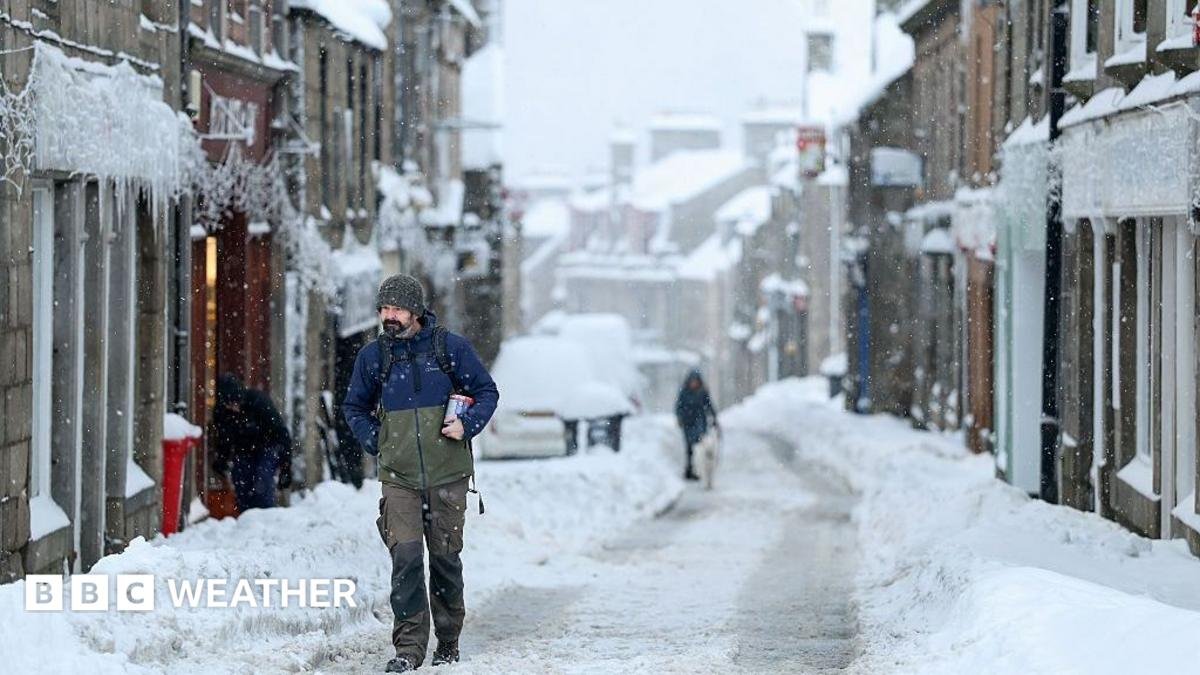
Sudden stratospheric warming events can have profound effects on surface weather. As the vortex weakens, the jet stream can become disrupted, leading to blocked weather patterns that bring colder air from the north or east, and increasing the chances of snow, particularly in eastern parts of the UK.
However, because this event is occurring so early in the season, there are few historical analogues. The Arctic is not yet as cold as it becomes later in winter, and the polar vortex itself has only recently developed. As a result, any influence on weather patterns may be weaker than during a mid-winter disruption.
Professor Andrew Perez-Charlton, a meteorologist at the University of Reading, noted, "The typical response to a SSW is for colder and drier conditions over Europe and the UK. But because we haven't seen a SSW event quite like this before, it is harder to anticipate a cold spell at the moment."
El Niño's Role
The reasons behind this early event are not fully understood. It could simply be part of natural variability. However, the current strong El Niño, which has already disrupted weather patterns worldwide, may have played a role. El Niño can weaken the polar vortex towards the end of winter by sending planetary waves that disturb the circulation. Knight suggested that El Niño could have "helped load the dice for this SSW event. However, because this is so rare, there's not enough evidence" to establish a clear link.
Winter Outlook Uncertain
Long-range forecasts from the Met Office had already indicated a stormy start to winter, followed by a colder, drier spell towards the end. This aligns with typical El Niño patterns. But the early SSW event was not widely anticipated, adding further uncertainty to the outlook.
For Perez-Charlton, the "concerning thing would be if this event ends up bringing the typical drier weather pattern and lack of rain" associated with SSW events. With most of England and Wales still in drought, a wetter winter is needed to replenish reservoirs.
For now, experts stress that it is too early to know whether the recent changes in the polar vortex will significantly alter the winter weather. While snow is not likely in the coming weeks, the possibility of drier than average conditions remains a concern.
As scientists continue to monitor the situation, this unprecedented event serves as a reminder of the complexities of our atmosphere and the challenges of predicting its behavior in a changing climate.