
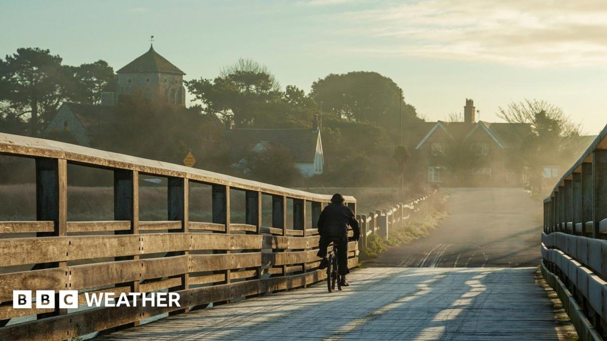
Britain is set for a short breather from the biting cold this weekend before another wave of wintry conditions and health warnings sweep across the country. Following a bitterly cold start to Saturday, when temperatures plunged to minus 7.2C in South Newington, Oxfordshire, the lowest reading of the autumn so far, Sunday morning will bring a noticeably milder start for most regions, with frost largely absent.
A Milder but Unsettled Sunday
Forecasters expect temperatures to hover between 2C and 6C across most of the UK on Sunday, though the chilliest spots in central and eastern England could still hover near freezing. The milder air will not come alone. Weather fronts pushing in from the west are set to bring showery rain that will drift eastwards through the day, becoming fairly widespread by midday.
Scotland and Northern Ireland, along with south-western parts of England and Wales, are likely to see the heaviest downpours first thing. By the afternoon, thundery showers could develop across southern England and parts of Wales, with mountain snow possible in the Scottish Highlands.
Officials warn that bursts of heavy rain, combined with brisk winds and falling autumn leaves, could clog drains and trigger localised flooding. Drivers and pedestrians are advised to take extra care on roads and pavements.
Cold Health Alerts Return
The mild spell will be brief. From 21:00 GMT on Sunday, cold-health alerts issued by the UK Health Security Agency (UKHSA) will come into force for the north-east and north-west of England, as well as Yorkshire and the Humber. The alerts will remain active until 09:00 GMT on Thursday.
As low pressure clears eastwards on Monday, rain and wind will ease, but colder air will once again push in from the north, bringing a return of frost and fog. Monday afternoon temperatures will sit around 5C to 8C for most, with a sharp wind chill near eastern coasts. The far south-west of England may buck the trend, with highs possibly reaching 12C before the next Atlantic front arrives.
Midweek Rollercoaster
Monday night will bring wet and windy conditions to many areas, with gales likely along western coasts. The rain could begin as sleet or snow over high ground, including Snowdonia, parts of the Pennines and the Highlands, before turning milder elsewhere.
The rest of the week is expected to be a temperature rollercoaster, with alternating spells of mild and cold weather. Residents are urged to keep an eye on local forecasts and take precautions during the cold-health alert period, particularly vulnerable groups such as the elderly and those with pre-existing health conditions.